 Admin
Admin
5 Scenarios to Use a First Responder App
As the technology capabilities available to first responders improve and expand, mobile device and app usage for geospatial awareness is increasing...

Think back to April 2020. Knowledge of the COVID-19 epidemic was ubiquitous. By then, 3.9 billion people in more than 90 countries were under lockdown of some shape or form. That’s roughly 50% of the world's population.
A pandemic of unprecedented proportions is now an issue of public concern. Understanding its nature, as well as how it’s spread among certain demographics, allows for a better, more timely response by emergency responders. Knowing what resources to deploy - where, when, and for what purpose - enables you to create and operate the best response possible.
This is the essence of situational awareness. The unexpected, unplanned, and unforeseen, for better or for worse, can interrupt normal life and quickly mushroom out into greater issues and challenges. Mitigating these issues requires data-driven insights that allow the unseen to be seen.
Public safety software uses the latest cutting-edge technology to map everything from epidemics and disasters to civil arrest and wars.
For your initiative to be effective, you must know how you’re going to be using public safety software in your organization.
Here we look at the essentials of geospatial awareness and public safety software.
For any public safety measures to be effective, you must first identify the goal. Geospatial awareness and public safety software can be used to track and measure a variety of data for a vast array of key jobs and functions. Your goals will inform the location of stations and the support response based on the specific data you track and monitor ongoing.
The following four essential steps will set you up with all the relevant information:
This step involves identifying whether and why you need public safety software , as well as appropriate software applications. Study how other organizations take advantage of relevant technologies and how they’ve successfully implemented geospatial awareness programs in their ecosystem. If you’re a military mission planner, government agency, or emergency responder, you will greatly benefit from using software focused on situational awareness.
Assess the need for critical mission planning and how software can improve your missions’ coordination, security, and organization. Make a comprehensive list of the specific ways in which it will benefit your organization and support your ongoing efforts.
It’s time to plan the implementation of the software. These are the primary considerations:
This is the implementation stage. It’s now time to bring all the components together so you can implement software aligned with your goals. A fully functional geospatial awareness software will provide high levels of confidentiality, integrity, and security for all users and can instantly scale from low levels of usage to thousands of simultaneous users when responding to a crisis situation. PAR Government’s Sit(x) can connect users on different operating platforms (Android, iOS, Windows, and Web) to the same operating environment. Ensure your users are connected and conduct training missions to familiarize yourself with the software.
By managing your initiative, you’ll begin to produce results and gain more support for it. The use of data allows you to plan missions with precision, and respond to emergencies with velocity, such that your processes and responses can be improved continuously. Results generated can be tracked, measured, and reported. And when you compare your overall performance to when you didn’t have public safety software, the value of the software will be reinforced, improving buy-in from team members.
This may seem obvious, but it’s often easily overlooked in the planning process. Software needs to be implemented, and there will be responsibilities that follow. Whether it’s your leadership, chief, executive team, IT officer, or otherwise, you must identify who is in charge of each initiative.
For your implementation to be successful, every party will need to work together and collaborate effectively.
Teamwork is a critical component of geospatial awareness and public safety success.
Buy-in from your team members, therefore, is a high priority. As a leader, you can share the big picture to help them understand the importance of mission planning with the help of software. You can get to know each member, be a coach to them, reward good behavior, and set a good example through your own conduct.
Policies and procedures must always be implemented to ensure efficiency and adherence to protocol. Budgetary support becomes a necessity, especially at the level of training. There must also be accountability in measuring overall performance.
Public safety plans hinge on teamwork, and the best-laid plans can fail without an organized and coordinated response to relevant stimuli.
There are many public safety software providers. If you’ve done your homework to this point, you may be present to your needs already, and if so, this step is simply a matter of finding a technology solution that’s well-matched to your needs.
Take into account the ease of use of certain servers. The best server as a service solution are cost effective, easy to use, scalable, cloud-based, and have 24/7 support. Critical situations require dynamic response capabilities in rapidly changing environments.
The process of implementation cannot and should not be glossed over. Using the new platform as an essential part of your missions requires intentional adoption.
You’ll need to clarify and communicate (with your provider):
Although some software requires many technical requirements and hardware needs, some are much easier to implement. PAR Government’s TeamConnect - Sit(x) was designed to be used by anyone. Setting up an account, creating new groups, and sending federation requests are easy and only take a few minutes. There are no special skills required.
Then you’ll need to test the software. The main areas to consider are:
Geospatial awareness and public safety software implementation is a multi-step process with many nuances. The better you understand the essentials, the more successful your program will ultimately be. Take the time necessary to do your homework, understand all the parameters, and find a solution that’s matched to your organization’s needs.
For more information on PAR Government’s Sit(x), contact us today.
As the technology capabilities available to first responders improve and expand, mobile device and app usage for geospatial awareness is increasing...
/iStock-1055162726_cropped_sm.jpg)
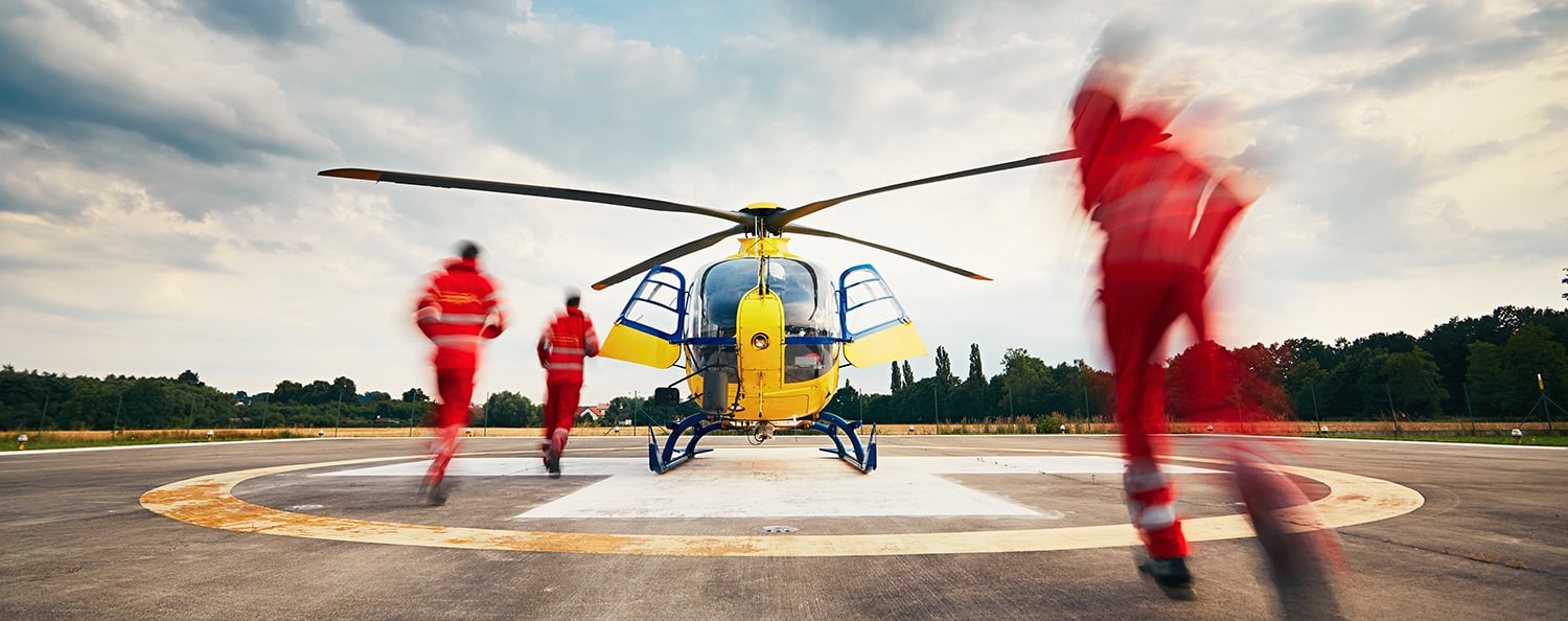
In a crisis, every second counts. Even the smallest delay in making a decision or taking action can mean the difference between survival or tragedy.
_blog_img-1.svg)
2 min read
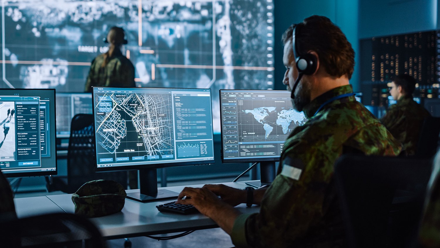
PAR Government’s products and solutions are meant to keep the warfighter, first responder, and others focused on the mission. For more than 50 years,...